Which is a Common First Indicator of Bad Weather Approaching: Expert Insights
As boaters and outdoor enthusiasts, it's crucial to be aware of the common indicators of bad weather approaching. One major factor in understanding the onset of poor weather conditions is the behavior of the clouds. A buildup of dark clouds often signals the arrival of a storm, making it essential for individuals to be vigilant when out on the water or engaging in outdoor activities.
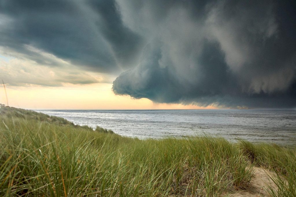
In addition to monitoring cloud formations, understanding the importance of barometric pressure, wind direction, and even animal behavior can help paint a more accurate picture of the impending weather situation. Such knowledge is vital for making informed decisions on whether to proceed with or alter plans in response to the weather conditions. Ultimately, awareness of these signs empowers individuals to prioritize safety, especially during boating excursions.
Key Takeaways
- Cloud formations, particularly dark clouds, are significant indicators of approaching bad weather.
- Monitoring barometric pressure, wind direction, and animal behavior can help in better understanding the upcoming weather conditions.
- Being informed about weather indicators and staying prepared on water excursions are crucial to ensuring safety in adverse conditions.
Fundamentals of Weather Indicators
Weather indicators are essential tools that help predict approaching bad weather. By understanding the various elements and their potential impact on the atmosphere, it becomes easier to recognize the signs of impending storms or other weather-related disturbances.
One such crucial element is the barometric pressure. A barometer measures the pressure exerted by the weight of the air in the atmosphere. A sudden drop in barometric pressure often indicates the approach of a low-pressure system, which typically brings clouds, precipitation, and possible stormy conditions. Conversely, a rise in pressure signals the arrival of a high-pressure system, generally resulting in clear skies and calmer weather.
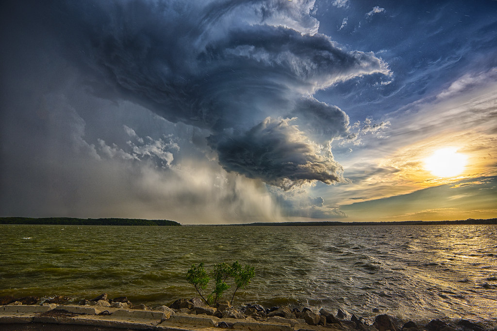
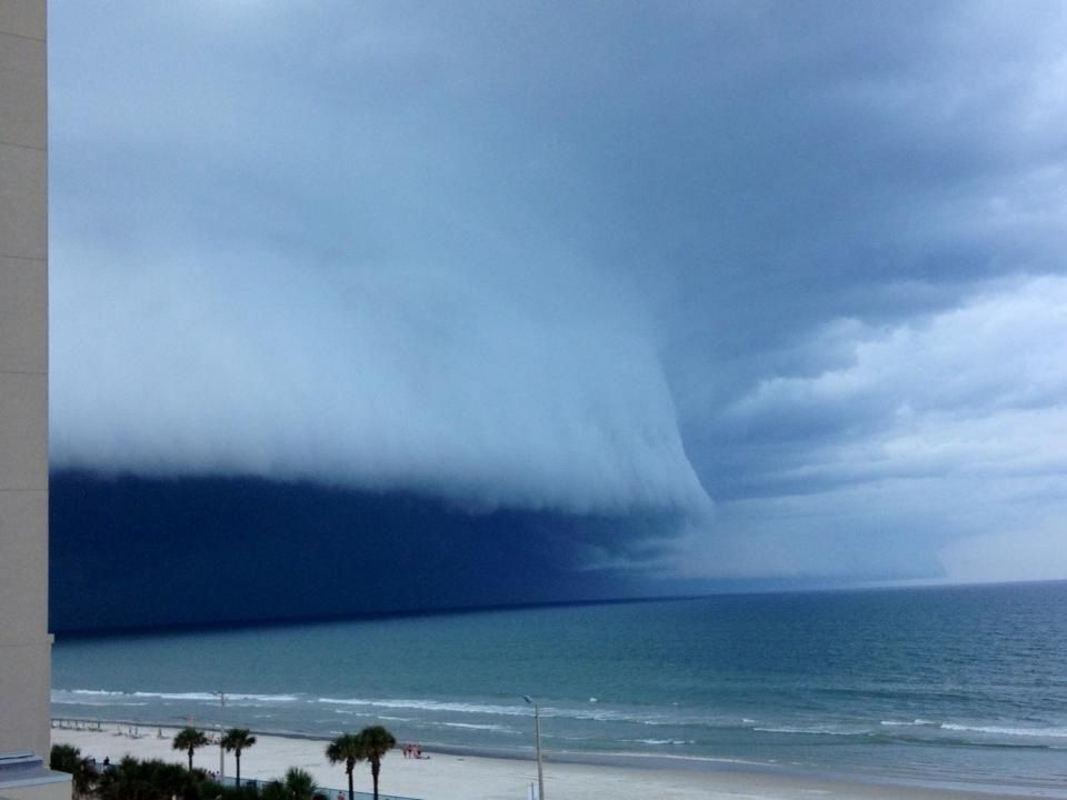
Cloud formations can also serve as reliable indicators of changing weather. Darkening or thickening of clouds can signal the approach of inclement weather, as these formations block out the sun and often lead to precipitation or storms. Observing the shapes and patterns of clouds, as well as their movement, can provide vital clues about upcoming weather events.
Another aspect to consider is the behavior of the wind. By observing the strength and direction of the wind, meteorologists can determine if weather systems are converging or diverging, which helps predict the type of weather that may develop. In general, winds coming from the east can carry moisture from the ocean, potentially bringing precipitation, while westerly winds can result in drier conditions.
Atmospheric conditions also play a vital role in determining upcoming weather events. Factors such as temperature, humidity, and dew point can influence the development of storms, fog, and other weather phenomena. For instance, a sudden drop in temperature combined with high humidity levels could lead to the formation of fog, while high temperatures accompanied by low moisture levels might create ideal conditions for wildfires.
In summary, by monitoring various weather indicators such as barometric pressure, cloud formations, wind patterns, and atmospheric conditions, it becomes possible to predict the approach of bad weather more accurately. This enables the public to take necessary precautions, ensuring safety and preparedness during times of inclement weather.

Understanding Cloud Formations
Appearance of Dark Clouds
Dark clouds are often a precursor to an approaching storm or bad weather. Black or dark gray clouds indicate the presence of moisture in the air and can signal an upcoming rainfall or even a thunderstorm. The darker the clouds, the more moisture they contain, and the stronger the potential weather event.
Cumulus Clouds
Cumulus clouds are the small, white, fluffy clouds often seen on fair-weather days. However, when these clouds begin to grow and transform into towering cumulus or cumulonimbus clouds, they can indicate the development of thunderstorms or other severe weather events. Pay close attention to the size, shape, and color of cumulus clouds as they can provide valuable information about possible weather changes.
Cirrus Clouds
Cirrus clouds are thin, wispy clouds that are composed of ice crystals. They can be found high up in the atmosphere and are often associated with fair weather. However, when these clouds begin to thicken and form a halo around the sun or moon, it can indicate that a depression is getting closer, which may bring rain, wind, and fog in the next 10 to 15 hours.
Lenticular Clouds
Lenticular clouds are lens-shaped clouds that are often found near mountain ranges. They are formed when moist air is forced to rise up and flow over a mountain, where it cools and condenses, forming a cloud. Lenticular clouds in themselves do not indicate severe weather; however, they can serve as a sign of turbulent or changing atmospheric conditions.

Clouds and Their Indication to Storms
Understanding cloud formations is essential for predicting approaching storms and severe weather events. For example, the appearance of dark clouds or the transformation of cumulus clouds into cumulonimbus clouds can suggest that thunderstorms are imminent. On the other hand, rapidly changing cloud formations such as lenticular clouds can indicate instability in the atmosphere, which may lead to future weather changes. By observing and interpreting cloud patterns, one can better prepare for and predict upcoming weather events.

Role of Barometric Pressure in Indicating Weather Changes
Barometric pressure, or atmospheric pressure, plays a crucial role in predicting weather changes. It is the measure of air pressure in a given area, with a barometer being the instrument used to provide these measurements. Fluctuations in barometric pressure can often act as a first indicator of bad weather approaching, giving us valuable insights into the local atmospheric conditions.
When the barometric pressure decreases, it is generally a sign of worsening weather, such as storms or high winds. The drop in pressure implies that the atmosphere above is becoming less dense, allowing for the development of stormy conditions. Low-pressure systems often bring clouds, precipitation, and the potential for severe weather events.
In contrast, rising barometric pressure is typically associated with calm and pleasant weather. An increase in pressure signifies that the atmosphere is becoming denser, preventing the formation of clouds and precipitation. High-pressure systems generate clear skies, mild temperatures, and light winds, creating a more stable and comfortable environment.
An accurate barometer is essential for detecting changes in barometric pressure. Digital barometers have become increasingly popular for their ability to quickly and precisely measure atmospheric data. These tools can provide real-time information on weather conditions, thereby helping meteorologists and weather enthusiasts make more informed decisions and forecasts.
In conclusion, the role of barometric pressure in indicating weather changes should not be underestimated. By closely monitoring changes in atmospheric pressure using a reliable barometer, we can get valuable insights into the forthcoming weather conditions. Understanding the link between barometric pressure and weather patterns allows us to better prepare for potential storms or enjoy the calm, pleasant days ahead.

Identifying Weather Fronts and Their Implications
Weather fronts are the boundaries between air masses with different temperature, humidity, and pressure characteristics. They have a significant impact on the weather and provide important information for forecasts. In this section, we will discuss warm fronts, cold fronts, and changes in pressure systems.
Warm Fronts
A warm front occurs when a warm air mass moves over a colder air mass, causing the colder air to retreat. As the warm air mass advances, it rises above the colder air, leading to cloud formation and precipitation. Warm fronts are usually associated with gentle rain and low stratus clouds. The temperature increases, and humidity levels rise as the front passes through an area. While warm fronts are not known for severe weather, they can lead to prolonged periods of rainfall and reduced visibility due to fog or low clouds.
Cold Fronts
Cold fronts form when a cold air mass pushes under a warmer air mass, forcing the warm air upward. This can lead to the formation of thunderstorms and cumulonimbus clouds. As the cold front moves through an area, temperatures drop, humidity decreases, and wind patterns shift. Cold fronts often bring gusty winds and dramatic weather changes, such as sudden drops in temperature. In severe cases, cold fronts can lead to the development of tornadoes and hailstorms.
Changes in Pressure Systems
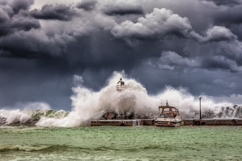
Pressure systems play a crucial role in weather forecasting, as they are often associated with the movement of air masses and the development of weather fronts. High-pressure systems are characterized by sinking air, which typically leads to clear skies and stable weather conditions. On the other hand, low-pressure systems involve rising air, promoting cloud formation and precipitation.
When a high-pressure system approaches, it can cause weather fronts to dissipate, leading to improved weather conditions. Conversely, when a low-pressure system moves in, it can enhance the development of weather fronts, resulting in possible adverse weather such as rain or snow. Tracking the movement and interaction of pressure systems is essential for predicting the arrival and progression of weather fronts, enabling accurate forecasting and ensuring public safety.
Interpreting Wind Direction and Speed
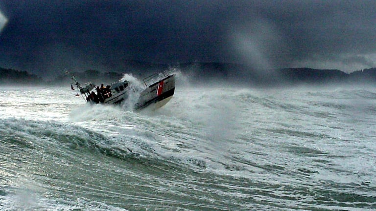
Wind plays a crucial role in weather forecasting, as it can provide early indications of changes in atmospheric conditions. In particular, sudden shifts in wind direction and speed often signal an approaching weather system. By understanding how to interpret these wind patterns, you can gain insight into possible upcoming bad weather.
Prevailing winds are the dominant wind patterns appearing consistently in a specific region. They result from the Earth's rotation, temperature differences, and geographical features. Observing changes in the prevailing winds can help predict potential modifications in the weather, such as the arrival of a storm or a change in temperature.
Wind direction is described as the direction the wind originates from. For instance, a northerly wind blows from the north to the south. You can determine the wind direction by observing the movement of objects in the air, such as leaves or clouds. Additionally, wind barbs are visual representations of wind patterns commonly found on weather maps and used by meteorologists. Read more about wind barbs here.

High winds often indicate the presence of an incoming low-pressure system or a frontal boundary, which are typically associated with inclement weather conditions like rain, storms, or snow. Strong winds can also transport moisture from one area to another, influencing the formation of clouds and the development of precipitation.
In conclusion, observing and interpreting changes in wind direction and speed are essential for understanding the early indicators of bad weather approaching. By paying attention to the shifts in the prevailing winds, wind patterns on weather maps, and the presence of high winds, you can gain valuable insights into the likelihood of unfavorable weather conditions.
Significance of Animal Behavior
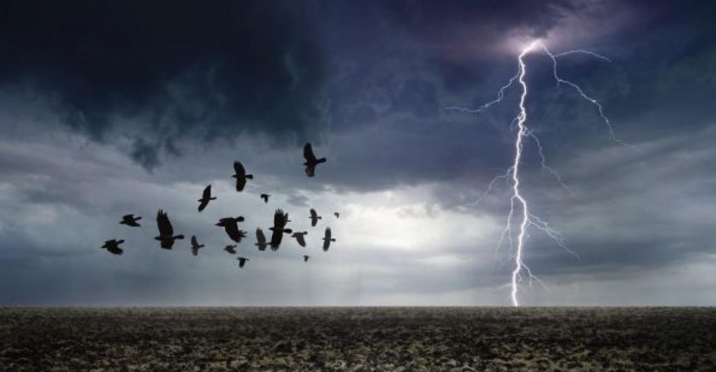
Animal behavior can often serve as a common first indicator of bad weather approaching. Animals, being more finely attuned to nature and its changing states, such as humidity, air pressure, and the length of the day, can display certain behaviors that signal a shift in weather patterns. This section will discuss some of the common signs exhibited by animals that can indicate an approaching change in weather.
One of the most well-known examples of animal behavior predicting weather conditions is the observation of birds. Birds tend to sing less on windy days and have been known to fly lower just before storms, as air pressure affects their ability to fly at higher altitudes. Additionally, some species of birds such as hawks are more likely to hunt in open fields during foggy conditions, possibly due to the fact that their prey is more visible in such conditions.
Insects can also serve as indicators of bad weather. For example, mosquitoes tend to bite more aggressively before rain. Spider behaviors, like building thicker webs or taking shelter, have been associated with colder weather or storms. This is primarily because insects are sensitive to changes in humidity and atmospheric pressure.

Mammals, too, can display behaviors that suggest a change in weather is imminent. Deep snow, for example, sends deer to coniferous forests with shared trail systems. Farmers have often observed that cows tend to lie down before rain, and squirrels can become more active in collecting food as a storm approaches.
These examples of animal behavior serve as a natural way to predict weather changes and should be viewed as a helpful complement to modern weather forecasting tools. While not every animal behavior is a guaranteed predictor of weather, being aware of these common signs can provide valuable information for those seeking to understand or anticipate changes in the environment.

Understanding Weather Conditions for Safe Boating
Role of Weather Forecast
A fundamental step for a safe boating trip is to be aware of the weather forecast. Keeping an eye on weather predictions helps boaters plan accordingly and avoid potential life-threatening conditions. It is crucial to monitor not only the local forecast but also the marine forecast, as weather and wave conditions can change suddenly.
Importance of GPS and Other Navigation Tools
Utilizing a GPS unit and other navigational tools while boating aids in staying on course and prevents getting lost during an unexpected change in weather conditions. In addition to GPS, having updated charts and compasses on board can further guarantee proper navigation, ensuring a smooth and safe boating trip.
Ensuring Safety with Essential Gear
Equipping your boat with essential gear is a core aspect of boating safety. Personal flotation devices (PFDs) are required for each person on board, and a well-stocked first aid kit should also be readily available. Additional safety gear, such as flares, a VHF radio, and a throwable PFD, can greatly impact the security of everyone on board, particularly in the event of unpredictable weather.

Interpreting Waves and Swells
Understanding waves and swells is an essential part of safe boating. Swells refer to large ocean undulations generated by distant storms and may be local to an area. Waves are usually formed by wind action on swells, creating ripples called "catspaws". When winds increase or change direction, it often serves as an indicator of an approaching storm. Learning to interpret these signs can provide boaters with a better understanding of the sea conditions, thus improving safety.
Storm Preparedness for Boaters
Being prepared for storms is crucial for safety when boating. Signs of an approaching storm include dark, threatening clouds, a sudden drop in temperature, and an increase in wind speed or change in wind direction. Having a storm readiness plan that involves securing all loose equipment, monitoring the GPS unit for the nearest shelter, and checking communication devices can make all the difference in navigating safely through unforeseen weather conditions.

Concluding Remarks
In summary, a common first indicator of bad weather approaching is the buildup of dark clouds. These clouds often appear thicker, denser, and lower than regular clouds, making the sky appear gloomy. As the sky darkens and clouds thicken, this serves as a warning sign for individuals to prepare for storms or other forms of inclement weather.
Not only is observing the sky an effective method for predicting bad weather, but this practice has been utilized for centuries, long before the existence of local weather forecasts. By understanding these natural signs, individuals can better prepare themselves and take necessary precautions to ensure their safety during potentially dangerous weather conditions.
It is essential for everyone, especially those involved in outdoor activities such as boating or hiking, to stay vigilant and pay attention to the sky for any changes that may indicate the onset of bad weather. By staying informed and attentive, one can take action to minimize risks associated with storms and unfavorable weather conditions.
Frequently Asked Questions
What are the early signs of a storm approaching while boating?
When boating, it's critical to pay attention to early warning signs of an approaching storm. These signs include darkening clouds, increasing wind speeds, and a sudden drop in temperature. Watch for whitecaps on the water, indicating increased wind strength, and a sudden change in wind direction. Keep an eye on the horizon for visible storm systems like squall lines and lightning.
How can one predict bad weather while out on the water?
While out on the water, predicting bad weather involves monitoring a combination of factors. Keep a NOAA Weather Radio on board to receive updates on local weather conditions, and check forecasts before departing. Be familiar with your surroundings and notice any change in wildlife behavior, like birds flying low or sea animals acting unusually. Also, pay close attention to the clouds, wind, air pressure, and temperature as these can indicate developing poor weather.
What changes in the sky signal the approach of bad weather?
Changes in the sky can be a clear indicator of bad weather approaching. Watch for darkening clouds, particularly when they take on a greenish hue or become low and heavy. A sudden increase in cloud speed and altitude is also a sign of changing weather. Be cautious of mammatus clouds, which are pouch-like formations that often appear before severe weather, and towering cumulonimbus clouds that indicate strong updrafts and potential storms.
How can wind patterns indicate incoming poor weather conditions?
Wind patterns provide significant insight into incoming poor weather conditions. Sudden gusts, shifting wind directions, or a rapid increase in wind speed can signal an approaching storm. Consistently strong winds from one direction could indicate the development of a larger weather system. It's essential for boaters to stay vigilant and regularly monitor wind conditions while out on the water.
What role do clouds play in predicting foul weather while boating?
Clouds play an essential role in predicting foul weather while boating. The types, altitude, and movement of clouds can offer valuable information about the weather conditions. For example, fast-moving, low-level clouds might signal the arrival of a strong weather system. Pay attention to rapidly developing cumulus clouds, which can transform into cumulonimbus clouds, leading to thunderstorms. In addition, the presence of stratus clouds often indicates continuous rain or drizzle, which could affect visibility and navigation.
How can changes in air pressure help anticipate bad weather?
Changes in air pressure can help boaters anticipate bad weather, as storms are usually associated with low-pressure systems. A sudden drop in air pressure indicates an increased potential for stormy conditions. By monitoring a barometer on board, one can track air pressure changes and make more informed decisions about potential weather developments. In general, a steady decline in pressure is a warning sign for boaters to prepare for deteriorating weather conditions.
Charlie is Editor-in-Chief of Sea Magazine